Category:
EnvironmentMapping Bhutan's Freshwater Lakes: A Milestone Study
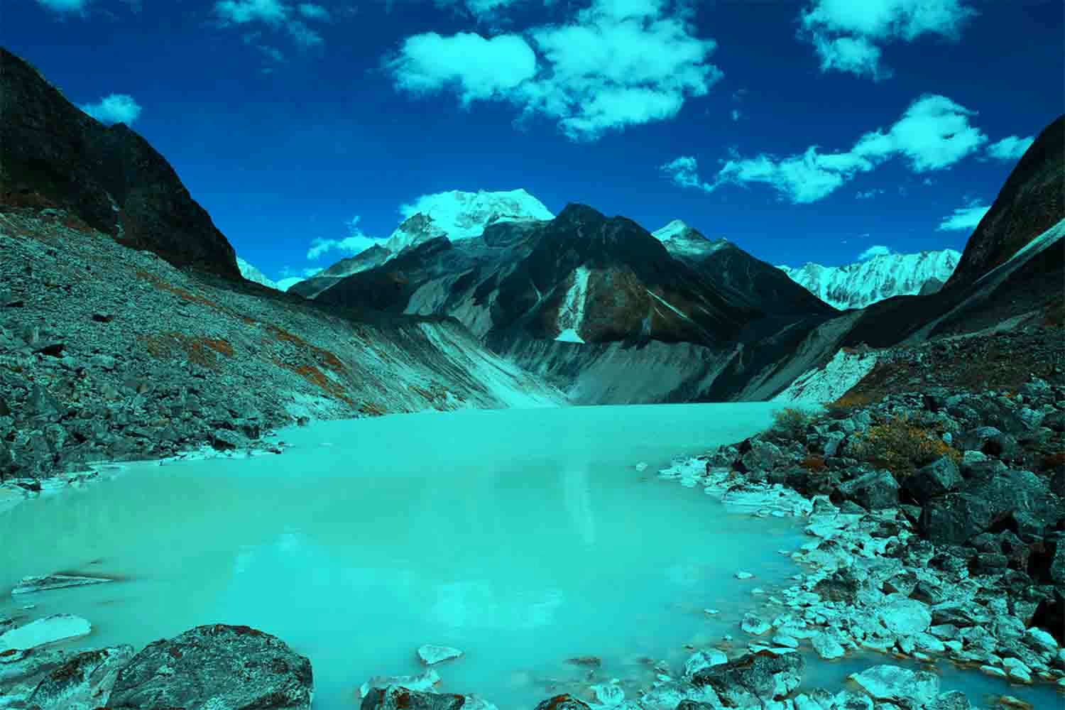
In a groundbreaking initiative, Bhutan's National Centre for Hydrology and Meteorology (NCHM) has mapped 2,391 freshwater lakes, marking the first nationwide inventory of these critical natural resources. This comprehensive baseline study is a significant step forward in understanding and monitoring the country's water resources amidst growing climate change concerns. 🌍💧
A Landmark Achievement in Hydrology
The NCHM utilized cutting-edge technology, including high-resolution Sentinel-2 satellite imagery and Google Earth Engine, to meticulously map these lakes across nine major river basins. Collectively, these lakes cover approximately 55.56 square kilometers, representing 0.144% of Bhutan's total land area. This effort not only highlights Bhutan's rich water resources but also underscores the importance of sustainable water management. 📊🛰️
Bhutan's Water Wealth: An Overview
Bhutan is internationally recognized for its abundant water resources. Recent global rankings placed Bhutan fifth worldwide and the only Asian nation in the top ten for renewable freshwater resources per capita. Despite this abundance, experts warn that water accessibility and effective management remain challenges due to the country's rugged terrain and limited infrastructure. 🌄💡
Freshwater Lakes: Definition and Importance
Freshwater lakes contain low concentrations of dissolved salts, unlike their saline counterparts such as the Dead Sea. Bhutan's mountain lakes, primarily fed by rainfall and snowmelt, play a pivotal role in the country's hydrological cycle by continuously flushing dissolved minerals downstream. This natural process keeps the lakes fresh and vital for ecosystems and human use. 🏞️🌧️
The Inventory's Broader Implications
This inventory is more than just a catalogue. It establishes a critical baseline for future surveys to monitor changes in lake sizes and conditions. Such data will be invaluable for hydrological modeling, watershed management, and climate change assessments. It also accentuates the need for systematic monitoring as climate change and urbanization pressure these resources. 🌐🔍
Regional Insights and Statistics
The study revealed that the Punatsangchhu sub-basin hosts the largest concentration of lakes, with 769 lakes covering 19.22 square kilometers. In contrast, the Nyera Ama Chhu sub-basin contains just 13 lakes. This detailed mapping provides insights into the distribution and density of lakes across Bhutan's diverse landscapes. 📈🌿
Challenges and Future Directions
Despite Bhutan's water abundance, only about 1% of its freshwater is utilized domestically, with the rest flowing into India. This highlights the need for improved water capture and storage solutions. Additionally, climate change, urbanization, and land use changes necessitate ongoing research and adaptive management strategies. 🌧️🏗️
Concluding Thoughts
The NCHM's study is a vital tool for understanding and managing Bhutan's freshwater resources. By establishing a national baseline, Bhutan is better equipped to face future challenges in water resource management and conservation. This initiative reflects a proactive approach to preserving Bhutan's natural wealth for future generations. 🌱🔍
As Bhutan continues to navigate the complexities of water management, this inventory serves as a testament to the country's commitment to sustainable development and environmental stewardship. 🌿✨
You May Also Like
Environment
Climate Crisis in the Himalayas: Bhutan's Cold Reminder
August 29, 2026
Environment
WBH Conservation Project Delivers Clean Water to Rural Homes
August 29, 2026
Environment
HKH Climate Crisis: Why Regional Unity Matters Now
August 29, 2026
Environment
Bhutan's Solar Power Revolution: Energy Security Strategy
August 26, 2026