Category:
EnvironmentBhutan's Glacial Lakes: 620 Mapped, 17 Pose Risks
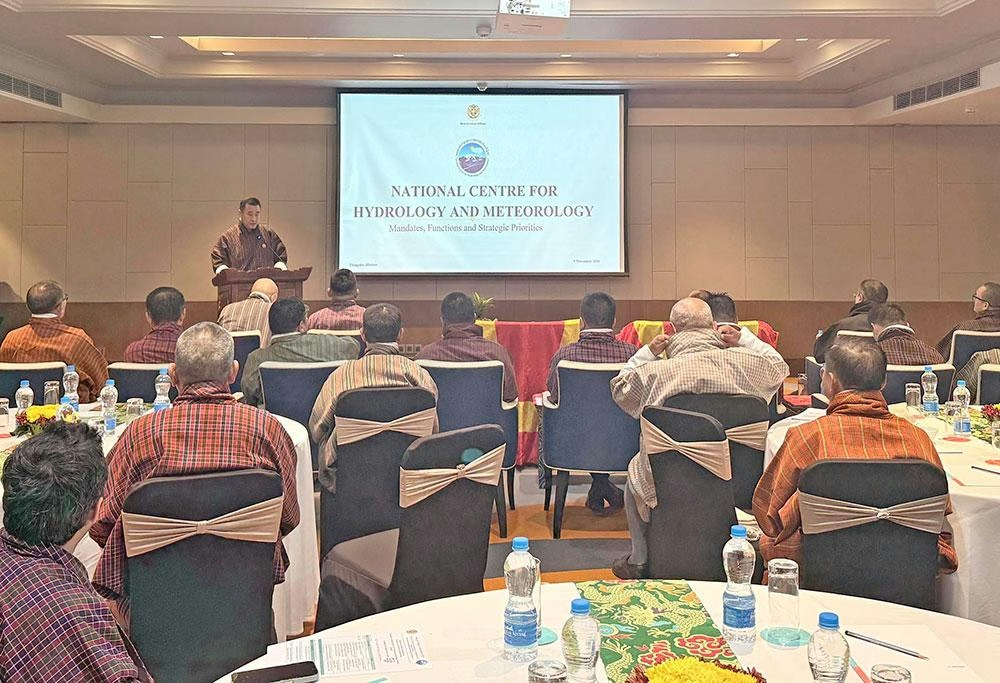
Bhutan's mountain landscape is undergoing significant transformation, and new data reveals an increasingly complex environmental challenge that demands urgent attention. 🏔️ Recent comprehensive mapping efforts have identified 620 glacial lakes across the kingdom, but among these, 17 have been flagged as potentially dangerous—raising critical questions about climate adaptation and disaster preparedness in this Himalayan nation.
The situation reflects a broader pattern of environmental change gripping high-altitude regions worldwide. As glaciers retreat and temperatures shift, new water bodies emerge while existing ones evolve in unpredictable ways. For Bhutan, a country deeply committed to environmental conservation and carbon neutrality, this development presents both a scientific puzzle and a practical management challenge.
Understanding Bhutan's Glacial Lake Crisis 🌊
The identification of 17 potentially dangerous glacial lakes marks a significant milestone in Bhutan's understanding of its mountain hazards. These lakes aren't randomly distributed across the country—they cluster in specific basins that warrant heightened attention and monitoring.
The geographical distribution tells an important story. Nine of the flagged lakes sit in the Pho Chhu sub-basin, three occupy the Chamkhar Chhu basin, two rest in the Mo Chhu basin, and three are scattered across other regions. This concentration in certain watersheds suggests that specific geographic and geological conditions make these areas particularly vulnerable to glacial lake outburst floods (GLOFs).
It's crucial to understand that identification for priority assessment doesn't automatically mean imminent danger. The National Centre for Hydrology and Meteorology (NCHM), which oversees this monitoring, emphasizes this distinction carefully. These 17 lakes require closer scrutiny, enhanced surveillance, and detailed risk evaluations—but they're not necessarily on the verge of catastrophic failure.
The Shitaphu GLOF: A Wake-Up Call 🚨
On October 29, a dramatic event in Gasa district provided a stark reminder of what can happen when glacial systems destabilize. The Shitaphu glacial lake outburst flood unfolded in a cascading sequence that demonstrates the interconnected nature of mountain hazards.
The event began when ice detached from the glacier and plunged into the upper lake, creating a massive wave that overwhelmed the natural dam formed by accumulated rock and sediment (known as a moraine dam). This initial breach triggered a chain reaction—water from the upper lake surged into a lower lake below, eroding its existing channel and ultimately destabilizing its moraine dam as well.
The numbers are staggering. Combined satellite and field analysis revealed that approximately 6.1 million cubic metres of water were released from these two lakes during the outburst. After the event, roughly 2.5 million cubic metres of water remained, indicating the sheer volume of these water bodies and the tremendous force unleashed during such events. 💧
Expanding Vulnerability: People and Infrastructure at Risk ⚠️
What makes this situation particularly urgent isn't just the existence of these lakes—it's the growing exposure of human communities and critical infrastructure. Bhutan's development trajectory, while environmentally conscious by global standards, has nonetheless expanded settlements and infrastructure along river valleys and flood-prone areas.
Current estimates paint a sobering picture of potential exposure:
- Over 11,000 people could face inundation from GLOF events
- 2,500 buildings stand in potential danger zones
- 250 kilometres of roads traverse vulnerable corridors
- 400 bridges could be affected by flooding
These aren't predictions of certain losses but rather modelled exposure estimates—they represent the theoretical maximum impact if a major outburst were to occur. Nevertheless, they underscore why this issue commands such attention from government agencies and development planners.
The expansion of hydropower facilities along Bhutan's river systems adds another layer of complexity. These installations, while crucial for the nation's renewable energy economy and revenue generation, also concentrate infrastructure in areas vulnerable to GLOF impacts. A single major outburst could damage multiple facilities and disrupt energy production across interconnected systems.
Monitoring Challenges: Resources and Expertise 🔬
The NCHM's Cryosphere Services Division faces a fundamental constraint that many environmental agencies in developing nations confront: the gap between monitoring needs and available resources. Currently, only two specialists lead field research on glacial lakes, while newer team members still require guidance and training.
This capacity limitation directly affects how comprehensively Bhutan can monitor its 620 glacial lakes. The centre manages to conduct annual assessments of three benchmark glaciers—strategic locations chosen to represent broader patterns of glacier change. However, the frequency and depth of glacial lake assessments depend heavily on available personnel and shifting monitoring priorities.
Satellite imagery provides a crucial tool for this work. The NCHM employs remote-sensing technology to track changes in glacial lakes and identify those requiring ground-based assessment. Recent fieldwork included reassessments of Trukjung Glacier Lake, situated above Lugge village, and another lake near Ledi village in Lunana. Trukjung Glacier Lake ranks among the 17 flagged as potentially dangerous, making its monitoring particularly important.
The Broader Picture: Glacier Retreat and Lake Expansion 📊
The 17 dangerous lakes exist within a context of significant environmental transformation. Bhutan's glaciers are retreating at a measurable pace, and new glacial lakes are forming as ice melts and recedes.
The most recent glacier inventory, conducted between 2016 and 2025, reveals dramatic changes since the previous assessment in 2018:
Glacier Statistics:
- 2018: 700 glaciers covering 629.55 square kilometres
- 2026: 673 glaciers covering 571.86 square kilometres
- Net change: Loss of 27 glaciers and 57.69 square kilometres of ice
- Percentage decline: 9.16 percent reduction in total glacier area
One glacier was reclassified as a seasonal snow patch rather than a permanent glacier, reflecting the sensitivity of these classifications to changing conditions.
Glacial Lake Growth:
- 2021: 567 glacial lakes covering 55.04 square kilometres
- 2026: 620 glacial lakes covering 58.18 square kilometres
- Net increase: 53 new lakes in five years (9.4 percent growth)
- Area expansion: 5.7 percent increase in combined lake surface area
This expansion of glacial lakes isn't uniform or predictable. Some lakes grow rapidly, others remain stable, and a few may even drain or disappear. Understanding these individual trajectories requires sustained monitoring and sophisticated analysis.
Research in Progress: Glacier Melt Patterns 🔍
The NCHM's recent measurements from benchmark glaciers promise to illuminate how glacier melt patterns are evolving. Data collection has been completed, but analysis remains underway. These findings are expected to provide clearer insights into how glacier melt rates have changed over the past year and how they might continue to evolve.
Such data proves invaluable for climate modeling, water resource planning, and hazard assessment. Understanding whether melt rates are accelerating, stabilizing, or fluctuating helps inform decisions about infrastructure development, water storage capacity, and disaster preparedness investments.
Priorities for the Future 🎯
The NCHM has outlined a clear agenda for addressing these challenges:
Immediate Actions:
- Continued monitoring of the 17 flagged glacial lakes
- Detailed assessments of remaining water volumes and structural stability
- Advanced modelling to predict how similar outburst events might develop
- Strengthening early warning systems for downstream communities
Longer-term Strategies:
- Community preparedness and disaster awareness programs
- Infrastructure vulnerability assessments
- Integration of GLOF risk into development planning
- Capacity building for monitoring and response teams
Implications for Bhutan's Development Path 🌱
Bhutan's commitment to maintaining 60 percent forest cover and achieving carbon neutrality positions the nation as a global environmental leader. However, this commitment must now extend to managing the hazards that climate change creates, even as emissions reduction efforts continue.
The glacial lake situation illustrates how environmental stewardship involves not just preservation but also adaptation. Bhutan cannot prevent glacier retreat or the formation of new lakes, but it can monitor these changes, prepare communities, and integrate this knowledge into development decisions.
The challenge is particularly acute because many of Bhutan's most vulnerable communities live in remote mountain valleys where infrastructure is limited and evacuation options are constrained. Building resilience in these areas requires investment in early warning systems, communication networks, and community education alongside continued scientific monitoring.
Conclusion: Vigilance and Action 💪
Bhutan's inventory of 620 glacial lakes, with 17 identified as potentially dangerous, represents a crucial step toward understanding and managing mountain hazards in an era of rapid climate change. The Shitaphu GLOF of October 29 demonstrated that these risks are not theoretical—they're real events with real consequences.
The path forward requires sustained commitment to monitoring, adequate resourcing of technical teams, integration of hazard awareness into community planning, and infrastructure designed with climate resilience in mind. While Bhutan's environmental achievements are globally recognized, managing these emerging hazards will prove equally important to the nation's long-term sustainability and the safety of its mountain communities.
As glaciers continue to retreat and new lakes continue to form, vigilance and adaptive management will be essential. The work being done by the NCHM and partner agencies today will determine how well Bhutan navigates the environmental challenges of tomorrow.
You May Also Like
Environment
Sintaphu's Warning: Bhutan's Climate Crisis
November 7, 2026
Environment
Bhutan's Climate Crisis: Bearing Costs of a Crisis It Didn't Create
November 7, 2026

Environment
Climate and Biodiversity Crises Collide: Lessons from Yerevan and Bhutan
November 4, 2026
Environment
Sintaphu Lake Crisis: Has the Danger Really Passed?
November 4, 2026